Professional biological, environmental, GIS, UAS, and monitoring services for natural resource projects.
Explore ServicesMcElroy Environmental provides practical biological, environmental, field, and geospatial support for natural resource, restoration, and land management projects.
Field-based biological surveys and monitoring to support natural resource management, restoration, and environmental compliance. Services include wildlife and avian surveys, habitat assessments, pre-project surveys, construction monitoring, and long-term biological monitoring.
Drone-based imagery and geospatial services for environmental assessment, monitoring, mapping, and project documentation. Services include high-resolution aerial imagery, orthomosaic mapping, photogrammetry, GIS analysis, spatial data collection, and development of clear, project-ready geospatial products.
Field and remote-sensing approaches to document vegetation, habitat conditions, and ecological change over time. Services include vegetation surveys, habitat assessments, repeat photography, restoration effectiveness monitoring, and pre- and post-treatment data collection.
Flexible field and technical support for natural resource, restoration, and land management projects. Services include field data collection, implementation and compliance monitoring, project documentation, GIS support, and coordination with project teams, contractors, and land managers.
McElroy Environmental brings field-based experience supporting biological monitoring, ecological restoration, natural resource management, and geospatial projects throughout the western United States. Experience includes biological surveys, vegetation and habitat monitoring, restoration effectiveness monitoring, GIS analysis and mapping, UAS-based data collection, and coordination of multidisciplinary natural resource projects.
Bachelor of Science in Biology
University of Oregon
FAA Part 107 Remote Pilot
MSHA New Miner Training
OSHA 10-Hour Construction
First Aid & CPR
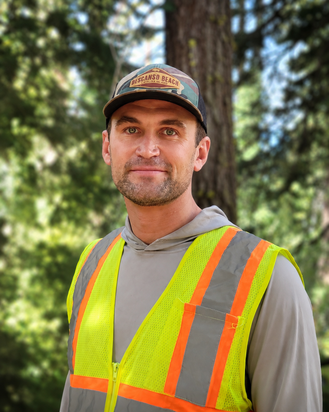
Collin McElroy is a field biologist and environmental project manager with experience delivering biological surveys, ecological monitoring, restoration, compliance, GIS, and UAS projects throughout the western United States.
His field experience includes avian point counts, breeding-bird and nest-clearance surveys, special-status species surveys, vegetation and habitat assessment, biological construction monitoring, and restoration-effectiveness monitoring. He has worked across Great Basin, desert, riparian, wetland, grassland, and montane forest ecosystems, including projects on public lands, mine sites, renewable-energy facilities, and remote restoration areas.
Collin's project experience includes managing a $1.3 million restoration grant, administering professional-services contracts valued up to $300,000, coordinating contractors and agency partners, supervising field crews, and designing landscape-scale monitoring programs. His technical capabilities include ArcGIS Pro, field-data collection systems, spatial analysis, technical mapping, UAS data collection, photogrammetry, orthomosaics, point clouds, data QA/QC, and technical reporting.
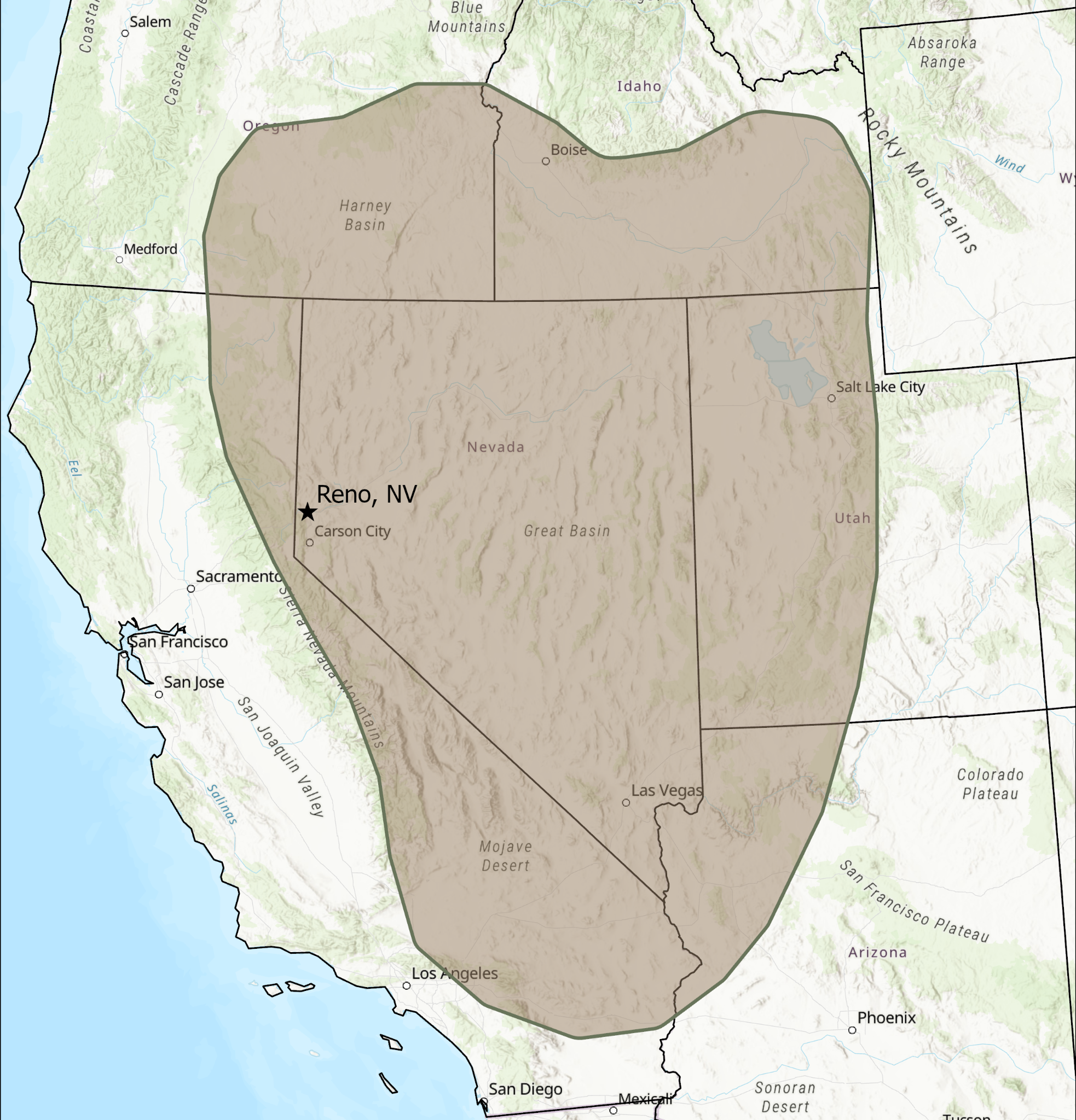
Based in Reno, Nevada, McElroy Environmental primarily serves projects throughout Nevada and the greater Great Basin region. Services are also available for projects throughout the western United States based on project scope and scheduling.
Available for biological and environmental field assignments, construction monitoring, vegetation surveys, GIS/UAS services, and project-specific subcontracting support.